
Walk a Post Falls Street
A sound street search begins with the address, not a guessed name. The Kootenai County Assessor connects a situs address, meaning the physical location, to a parcel identifier and legal description. The city base map then checks whether the street, building, and parcel line match. A Recorder instrument can establish a recorded transfer, while a voter report or an old directory may add limited evidence about a person tied to the address. None of these records alone proves the full household. Together, they create an auditable Post Falls street directory trail.
- Keep the address exactly as received, including its direction letter. Compare it with the current postal form, but save the older spelling or number.
- Search the Kootenai County Assessor. Record the situs, mailing address, PIN or AIN, legal description, and last transfer reference.
- Inspect the parcel in the Post Falls base map. Check the street, boundary, buildings, and nearby barriers.
- Take the legal description or transfer instrument to the Recorder Real Estate Search. Build one chain for each parcel.
- Add permit, voter, newspaper, or directory evidence only for the time and purpose it covers. Label each person as owner, voter, subscriber, or named party.
This order matters. Deeds are indexed mainly by party, instrument, and legal description, so an address must first become a land-record key. For an old household, continue with the Post Falls directory book collections after the modern parcel is secure.
Build a worksheet with one row per parcel, not one row per name. Include the search date, exact situs, owner-mailing label, PIN or AIN, legal description, transfer instrument, map layer, permit hit, and the source role for each person. That structure prevents a common mistake: merging two lots because they share a street number or surname. It also makes gaps easy to see before a Post Falls street directory conclusion is written.
USPS can standardize the current delivery form, but its label does not settle city limits or land identity. Post Falls commonly uses 83854 for ordinary street delivery, while 83877 appears in institutional and post-office-box examples. Save a ZIP result as mailing evidence only. The assessor’s situs field and parcel map remain the stronger tools for deciding which physical property the address names.
Decode the Post Falls Grid
Post Falls Ordinance 1135, enacted in 2007, places the grid origin at Spokane Street and 1st Avenue. Numbers extend north, south, east, and west from that point. The direction letter is part of the official address. Even numbers generally sit on the south or east side, while odd numbers generally sit north or west. The primary access point controls the assigned number, which matters on corner lots and multi-unit sites.
Read the city addressing ordinance before dropping a direction or changing a suffix. Post Falls sends address data to Kootenai County GIS, telephone service, USPS, and emergency providers. No official year-by-year renumbering or annexation crosswalk was found. For a historic mismatch, preserve both forms and compare the deed description, map geometry, directory year, and staff guidance.
Grid key. A missing N, S, E, or W can move a search to the wrong side of Post Falls.
The ordinance also requires city and county GIS approval for street names, discourages duplicate or confusing names, and keeps the same name where a street crosses an incorporated boundary. Addresses are based on primary access, while subunits follow added rules. For an address near the city edge, do not treat the postal city label as proof of incorporation. Compare the city boundary layer, county parcel record, and USPS form as separate facts.
The city framework assigns as many as 1,600 addresses per mile where the existing block pattern does not control. Street centerlines and name changes also follow separation and approval rules. These details explain why a search that drops a direction, guesses a block, or treats every “Post Falls” postal label as incorporated land may return a plausible but wrong parcel. Keep the current Property Address Guide route in mind when a number does not fit the visible grid.
Search Post Falls Parcels
The assessor is the best first official index for a current street address. Search narrowly, then broaden. The county warns that partial words behave differently from wildcards: “Mount” does not return “Mountain,” while “Mount*” may. Once a parcel card appears, keep both the situs and mailing labels. Mailing may point to another city, a post-office box, or an institution and does not prove where the owner lives.
| Search key | Format | Post Falls use |
|---|---|---|
| Property address | Full street text | Start exact; use * only to broaden |
| PIN | Entire 12-digit value, no dashes | Holds parcel identity across address variation |
| AIN | Six digits | Alternate precise parcel key |
| Owner | Last name first | Confirms owner, not every resident |
| Legal description | Partial text allowed | Bridges parcel to Recorder instruments |
The result may include assessed value, parcel number, short legal description, lot size, transfer date and instrument, and building details. Capture the search date because assessment data changes. The owner name is a land-record fact, not a complete household roll.
County staff routes are split by question. Assessor staff handle parcel numbers and legal descriptions. Community Development handles service addresses. GIS staff handle maps, and Recorder staff handle recorded plats and surveys. The Assessor office at 451 Government Way in Coeur d’Alene is open Monday through Friday, 9:00 to 5:00, and lists 208-446-1500. An in-person or phone question is often faster when a wildcard returns several similar Post Falls streets.
The parcel card may link to building traits, photos, or sketches. Treat those as assessment evidence captured on the card’s date, not a live view of the site. A last-transfer field is an excellent route into the Recorder index, but a transfer can involve a trust, estate, partial interest, or boundary change. Carry the instrument number into the deed search rather than translating the transfer date into a simple move-in date.
Post Falls Records by Address
Each source answers a separate part of the street question. The assessor and maps are current anchors. Recorder documents supply title chronology. City permits date work. Historic books and maps add older context, but have gaps. A Post Falls street directory is strongest when each result keeps its proper role.
| Record Set | Keeper | What It Shows | Access |
|---|---|---|---|
| Assessment roll | Kootenai County Assessor | Situs, owner, mailing, PIN/AIN, legal description | Free public search |
| Parcel maps | County and Post Falls GIS | Geometry, streets, buildings, plats, adjacency | Viewer, REST, PDF and archive routes |
| Recorded land | Kootenai County Recorder | Instrument, date, parties, type, legal description | Free viewing; counter or mail for copies |
| Voter report | Kootenai Elections | Permitted fields within requested geography | Form and statutory certification |
| Permit layer | Post Falls Community Development | Address, status, work type, dates, value, fee | Public portal and map service |
| Historic sources | University of Idaho and archives | Subscriber clue, street form, footprint | Online maps, microfilm, staff help |
Idaho voter data is purpose-limited and is not a full resident list. A county request can specify countywide, district, taxing-district, or precinct scope. Public fields can include name and address, while full birth date, signature, driver-license data, and ballot choices stay private. Compare any released address with a second dated source.
The current Kootenai voter-information form can request a registered-voter list with history and allows up to eight specified elections, with current guidance reaching back to the 2012 cycle. Normal reports are sent by email as CSV or XLS; the form lists a $4 USB charge for a large report. It also requires requester contact details and a use certification. A participation marker means only that a person took part, never how the secret ballot was cast.
For a street study, retain the release date and the precise geography approved by Elections. A precinct or taxing district can cross city, street, or ZIP boundaries, so it cannot be silently reduced to a Post Falls block. VoteIdaho’s public self-search serves a different task, allowing a voter to check personal registration. Its dynamic form and CAPTCHA are not a bulk street-search tool.
Map the Post Falls Street
The city base-map service exposes parcels, streets, the city boundary, buildings, parks, and waterways. Those layers catch false neighbors separated by the Spokane River, a railroad, highway right-of-way, or a public tract. A map click or geometry query can return a parcel or object ID. Save the layer name and query date so another researcher can repeat the check.
Open the Post Falls parcel and street service to see the public layer catalog.
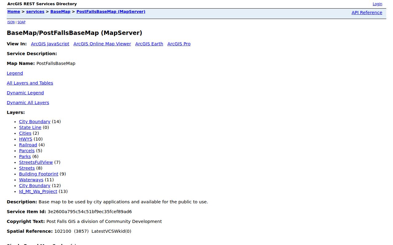
The service confirms that city geometry can validate the place before names are joined to it. County KCEarth may add parcel detail, but the research sweep found variable live access. County PDF maps, archived data, the assessor card, and Recorder plats are documented fallback channels.
For a corner parcel, inspect both frontages. The address may follow its primary access even though most of the lot touches another street. When parcels have been split or combined, retain both the old and new IDs. A current map cannot reconstruct the prior block by itself. The Recorder’s legal description and plat or survey search supply the more durable land keys.
Kootenai County also distributes parcel-map and archived data through its mapping channels. The county notes that CAD maintenance after January 1, 2011 was discontinued, so an older CAD file must not be presented as current geometry. Record the format and date of every downloaded map. When the live GIS fails, a current assessor card, a county PDF, and the recorded plat offer a more defensible fallback than an undated screen capture.
Post Falls Permit Address Trail
A city permit hit is a project clue. Post Falls publishes location, record status, submitted and issued dates, work type, building type, valuation, and fee. These details can date a remodel or replacement. They do not make the permit layer a resident roll, and an applicant should not be labeled as the occupant.
Start with Post Falls Building services for the permit and inspection route.
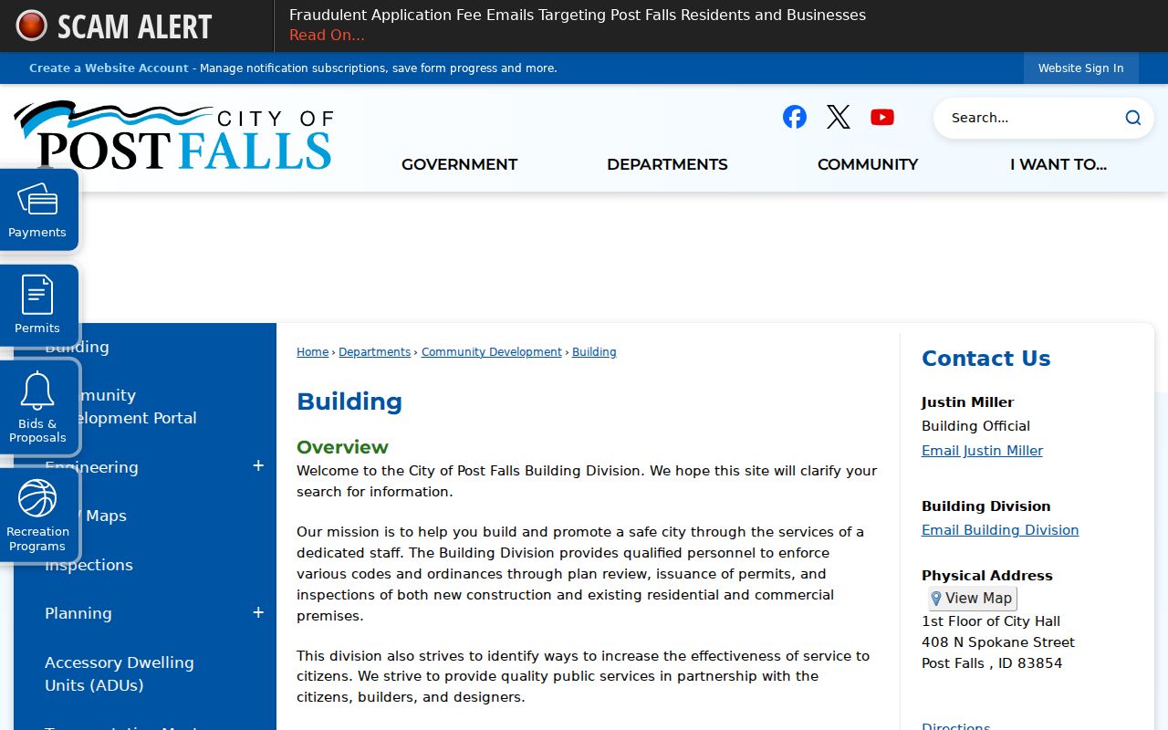
The portal identifies the city access channel before a search moves to the address-keyed map.
Inspect the Post Falls permit map service for queryable layer fields.
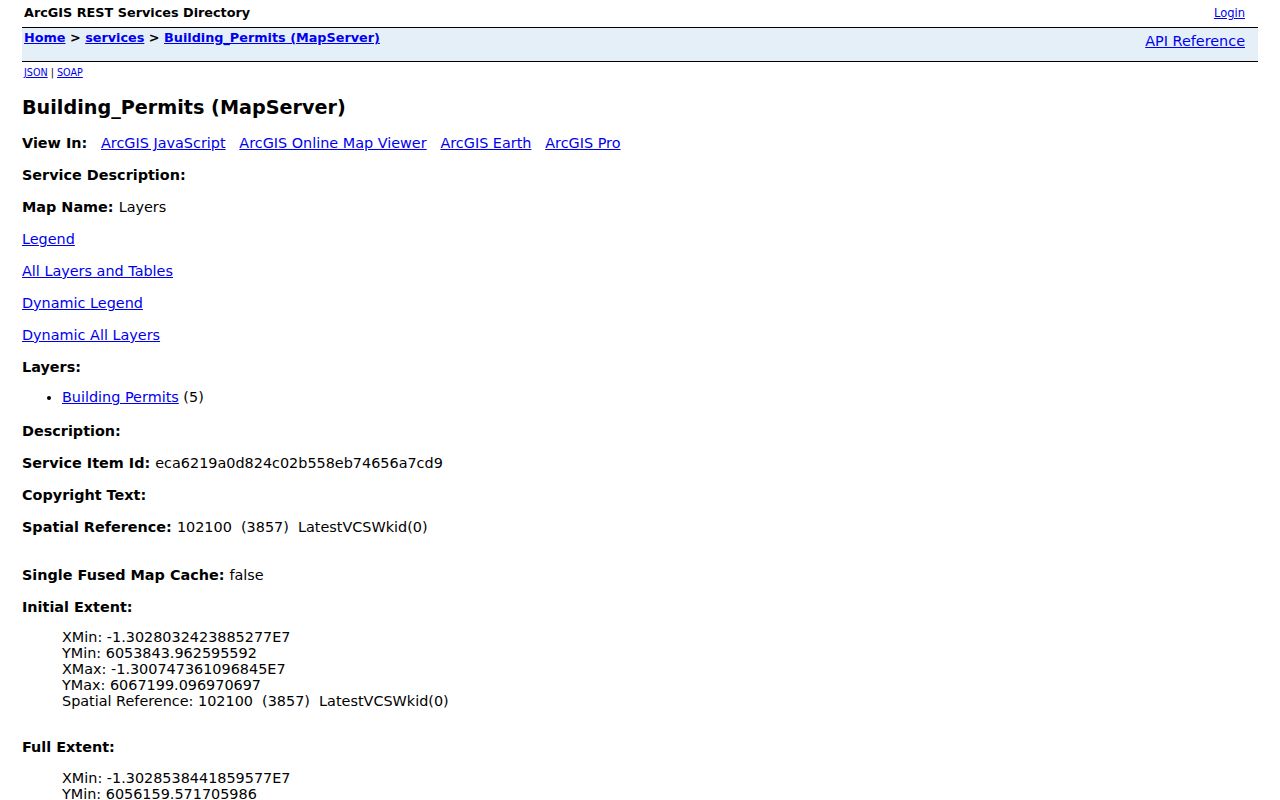
The REST record supports a repeatable project timeline. City staff and the public-records request route remain fallbacks for files not exposed online.
Record the permit status as shown. A submitted date, issue date, completed status, valuation, and work type answer different questions. A planned project may never have been built, and a permit can cover one unit within a larger site. Compare the permit location with parcel geometry before adding it to a street timeline. If the online service lacks an attachment, use the City Clerk public-records request channel rather than guessing what the file contains.
Post Falls Deeds by Parcel
Kootenai County says Recorder custody reaches 1881, but online guidance emphasizes modern research from 1996 forward. Search by the assessor’s last instrument first, then legal description and indexed party. A grantor conveys an interest; a grantee receives it. Keep instrument number, recording date, type, parties, book and page, and the full legal description before linking transfers.
Recorded documents can be viewed free online. The county records-research instructions also provide mail and in-person routes. Copies are listed at $1 per page, with separate certification and return-mail charges, so verify current totals before sending payment. The Recorder office handles older, certified, or difficult chains.
A recent public-access change imported surveys, plats, and corner filings. Codes SS, SP, and SL can reveal land continuity when a street name fails. That helps with subdivisions and address changes, but it does not mean every old image is online.
Recorder results should be joined only when the legal descriptions materially match. Similar names and nearby street numbers are weak links where a lot split, parcel combination, easement, trust, estate, or company is involved. Open the instrument image when available and note whether only part of the land changed hands. For mail research, provide known book and page, instrument number, party names, recording date, document type, and a return address.
Old Post Falls Street Footprints
Verified University of Idaho Sanborn pages cover Post Falls in 1890, 1908, and 1912. A Sanborn map shows streets, building footprints, materials, water features, and landmarks, not residents. It can test whether the modern parcel carried the same building or whether a current number refers to a later site.
View the 1890 Post Falls Sanborn sheet before joining an early name to a modern address.
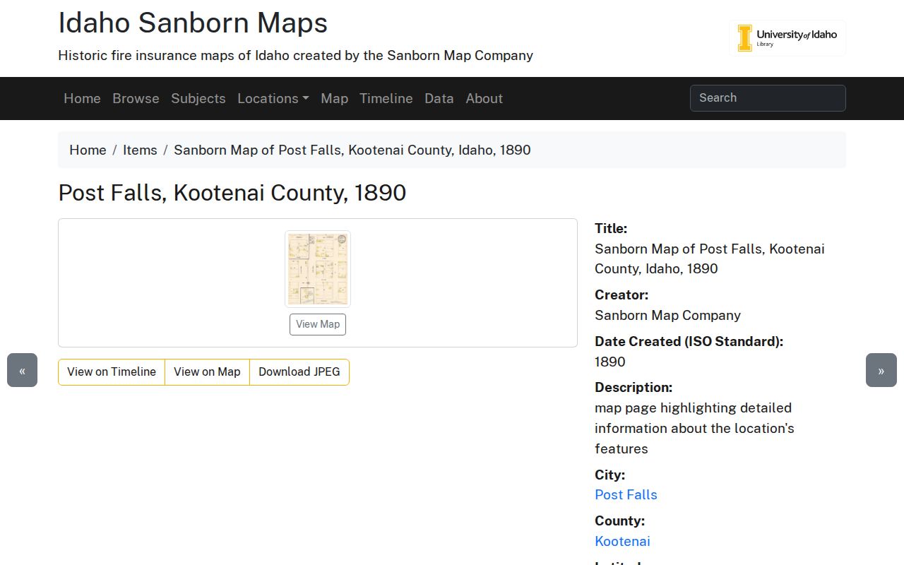
The sheet supplies physical street context. Pair it with a dated directory or newspaper for a person clue, then land records for the parcel chain.
- Parcel
- A mapped unit of land with its own county identifier.
- Situs address
- The physical location, separate from the tax-mailing address.
- Plat
- A recorded map dividing land into lots, blocks, roads, or easements.
- Criss-cross directory
- A book arranged by street and number. No verified Post Falls run was found online.
Regional telephone and business books can add a printed subscriber or firm to a street, but Post Falls is cataloged through Coeur d’Alene holdings. Selected telephone years run from 1930 through 2004/05 with gaps, and early regional business books reach into the first decades of the twentieth century. Ask the library or Museum of North Idaho whether a book has a true street-order section before calling it criss-cross.
Newspaper microfilm can then test a surname, exact street number, business name, legal notice, or obituary. University of Idaho holdings list the Post Falls Gazette from 1889, the Advance from 1913 through 1948, and the Tribune from 1964 onward. Cite the issue and page. A notice can connect a person to an address at one point in time, but land ownership still belongs to the assessor and Recorder trail.
Limits of Post Falls Street Records
A property owner may live elsewhere. A voter address is dated and applies only to a registered voter. Phone and business books omit unlisted people and those outside the regional publication boundary. Permits describe work. Maps describe land and structures. No official Post Falls reverse-directory run or renumbering chronology was verified online, so the library, Museum of North Idaho, and agency staff are key fallback channels.
The Idaho Address Confidentiality Program can lawfully replace a qualifying person’s physical address with a substitute mailing address and protect voter handling. A blank or conflicting result is not proof that the person never lived there. Record the gap, search only public fields, and minimize copied personal data.
Lawful use. Post Falls address records support lawful personal, family, property, and civic research. Never use them to stalk, harass, intimidate, or harm a person.