
Post Falls Neighbor Record Sources
The immediate block is best read as layers. The City of Post Falls base map supplies parcel and street geometry. County land and assessor systems connect parcel identifiers to ownership records. Permits add a property-change timeline. Block Watch and Community Services offer contact routes, but research found no city-published directory of neighborhood or association members.
| Block Source | What It Reveals Nearby | How to Access It |
|---|---|---|
| City parcel map | Parcel geometry, streets, boundaries, buildings, parks, waterways | Public ArcGIS service |
| County parcel map | PIN, ownership parcel, plats, and map context | GIS guidance and county records |
| Assessor roll | Owner, situs, mailing address, legal description, transfer | Public property search |
| City permit layer | Address, project status, dates, work and building type | Published city map service |
| Block Watch | Captain or group contact route | City program and phone |
| Older directories and news | Selected historic households and firms | Library and archive collections |
The assessor shows ownership, not occupancy. A permit shows work at a place, not a resident roll. A Block Watch captain is a public contact for a group, not evidence that every nearby home participates.
Map Post Falls Parcel Neighbors
The Post Falls base-map service exposes layers for parcels, streets, the city boundary, buildings, parks, and waterways. Start by locating the target parcel and recording its object or parcel identifier. Then inspect each boundary rather than relying on the next street number.
- Locate the target address and confirm its parcel outline.
- Record each parcel that shares a boundary with it.
- Exclude land across the Spokane River, railroad, highway right-of-way, drainage tract, or broad public parcel when the question is strict adjacency.
- For a corner lot, check both frontages and the primary access shown by the city address rules.
- Search each retained parcel ID in the Assessor roll and note the search date.
This creates a reproducible flow: address, target parcel, touching geometry, adjacent IDs, assessor owners, then selected Recorder follow-up. Preserve the map layer, query date, returned object IDs, and why each parcel was included or excluded.
Map tip. “Adjacent” means a shared boundary after map inspection. “Nearby” may include parcels across a street or other barrier.
Confirm Post Falls Block Ownership
The Kootenai County GIS and mapping page explains the county route for parcel data, map products, and recorded plats. The captured page reflects the official mapping guidance.
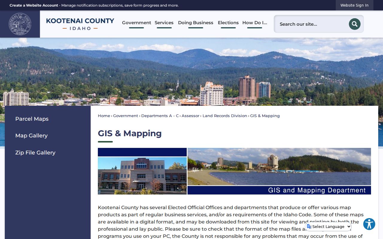
County mapping helps match a city-map object to the land record that carries the ownership and legal-description fields.
The Kootenai County Land Records Division provides another official route for parcel maps and land-record questions.
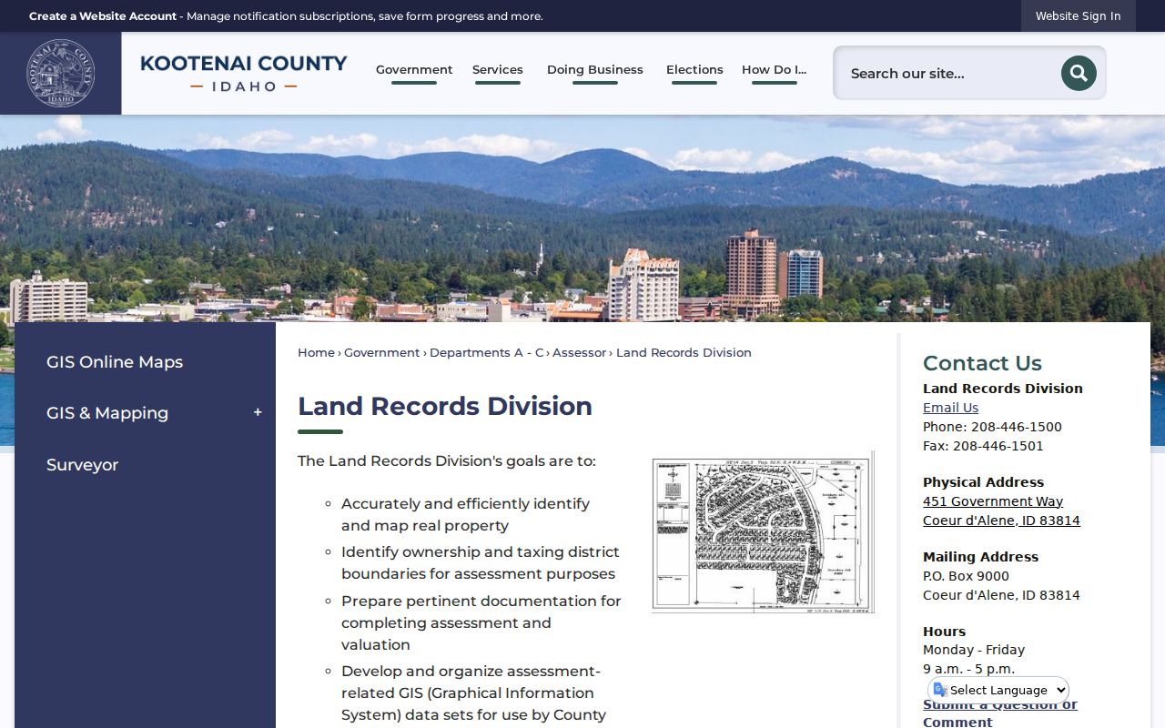
Use the land-record route when map geometry or an older parcel ID needs staff or archival clarification. The county notes that post-2011 parcel mapping uses a CAD maintenance process, so record the map date rather than treating geometry as timeless.
Next, use Kootenai County Assessor Public Access by PIN, AIN, owner, address, or legal description. Copy the situs and mailing fields separately. A matching mailing address may suggest owner occupancy, but it is not a complete household record.
Read Post Falls Block Barriers
Post Falls geography makes a simple radius unreliable. The Spokane River cuts through the southern city, I-90 crosses the community, and rail or public corridors can divide parcels that appear close. A large park, utility tract, or road right-of-way may touch a parcel without being a practical neighbor.
The city address grid begins at Spokane Street and 1st Avenue. Direction letters and odd or even parity are part of the official system. For a corner parcel, an address on one frontage can hide the parcel immediately around the turn. The strongest block worksheet records both frontages, a shared-boundary or nearby label, any barrier, and the parcel ID.
Ordinance 1135 makes the address more than a mailing string. City staff coordinate it with county GIS, USPS, telephone service, and emergency providers. Preserve a north, south, east, or west prefix exactly as the official record shows it. If the city map and assessor result disagree, keep both forms, check the parcel identifier, and record the date of each system. Do not force a quick match based only on a similar number.
Post Falls grew from 38,485 people in the 2020 census to a July 2025 estimate of 46,715. That changing scale makes current dates essential. A static resident count cannot establish who lives on a block, and a map or owner roll may change after a parcel split or transfer.
Build a Post Falls Block Timeline
The public Post Falls building-permit service is unusually useful for physical change. Its fields include location, record status, submitted and issued dates, work type, building type, valuation, and fee. These details can show construction or alteration at adjacent properties without naming everyone who uses them.
| Permit field | Block-level meaning |
|---|---|
| Location | Connects a project to an address |
| Status and dates | Place work in a current property timeline |
| Work and building type | Describe the physical project |
| Valuation and fee | Administrative project fields, not household facts |
Use permits after parcel identification. Search each selected address, retain the exact returned status and date, and avoid turning an applicant or owner field into an occupancy claim. A no-hit result means only that the published layer returned no matching record at that time.
Contact Post Falls Neighbor Groups
The city offers two supported routes for public neighborhood contact. Neither publishes a membership roll. Ask for the current public captain or association contact and explain the block or civic topic. Do not request private application fields.
A useful request is narrow: name the street or general block, state the public issue, and ask whether a public captain or association contact is available. Block Watch is organized around community groups, captains, and police updates. Community Services handles public routing for code enforcement, homeowner associations, alarms, and neighborhood watch. Neither office should be treated as a source for a household roster.
Post Falls Block Watch
Community groups use captains and police email updates. The city gives a start call at 208-773-3517.
Community Services
The city routes questions about code enforcement, homeowner associations, alarms, and neighborhood watch.
The captured Post Falls Block Watch page shows the captain and police-contact model.
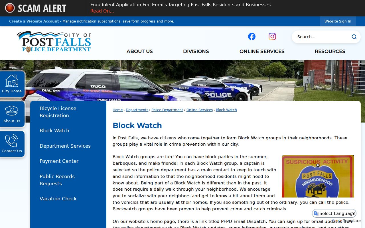
The page supports a group-contact request, not publication of applicant names, addresses, phone numbers, birth dates, or residence history.
The captured Post Falls Community Services page provides the city route for association and neighborhood questions.
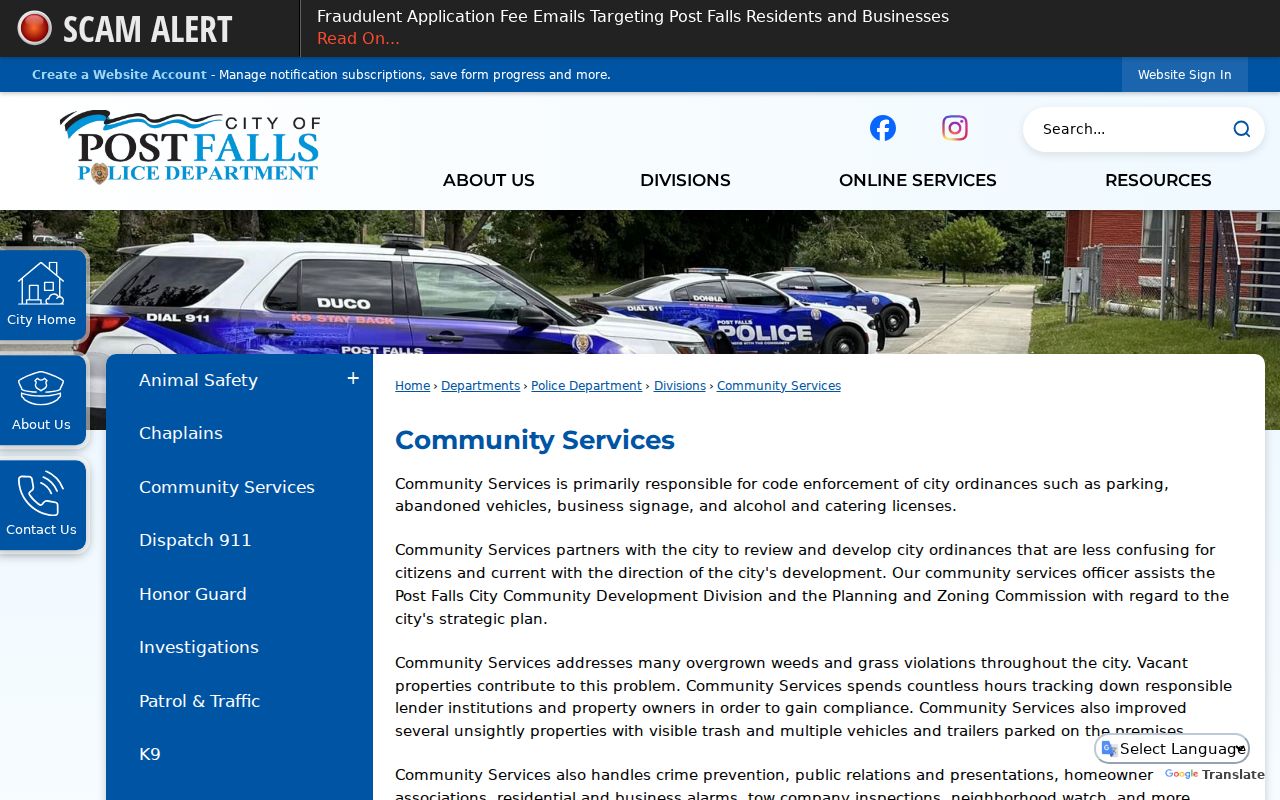
Because no citywide association-member directory was located, staff routing is the accurate fallback.
Choose Reliable Post Falls Lookups
Official records and commercial neighbor tools answer different questions. County and city systems disclose a source, field meaning, and custodian. Commercial compilations may merge old addresses, relatives, phone data, and inferred links without showing how current each item is. They should not replace a parcel check.
| Method | Strongest Use | Main Limit |
|---|---|---|
| Official parcel map | Determining which land actually touches | Map currency and geometry may change |
| Official assessor roll | Naming the owner of record | Owner is not the same as occupant |
| City program contact | Reaching a public neighborhood representative | No public member list |
| Commercial compilation | Possible leads for later verification | May be stale, merged, or inferred |
For a full named-street chain rather than the immediate block, move to the Post Falls street directory. Keep the neighbor lookup focused on touching or clearly nearby parcels and public community routes.
Protect Post Falls Neighbor Privacy
Public visibility does not make every use lawful or fair. The Assessor does not list all household members. A voter self-search is not a public block directory, and Idaho voter information carries purpose limits. Block Watch applications contain sensitive administrative fields that should never be copied into a neighbor list.
Idaho voter-file law makes selected fields public, including a voter's name, street and mailing address, county, gender, age, declared party, telephone number if supplied, and participation history. It does not make a birth date, driver-license number, signature, or ballot choices public. Those distinctions matter at block scale. Participation history says that a person took part, never how the person voted. Use the Kootenai Elections request route only for a lawful, stated purpose and retain the office's delivery and use terms.
Idaho's Address Confidentiality Program supplies a substitute mailing address and confidential voter-registration handling for qualifying survivors. A protected or missing address can reflect a safety program, a mailing difference, a data delay, or a source that simply does not collect occupants.
Lawful use. Look up Post Falls neighbors for civic curiosity, community contact, reconnection, or personal safety awareness. Never use records to watch, intimidate, harass, or harm someone.
The correct end product is a sourced block worksheet, not a published private-contact roster. Record parcel IDs, boundaries, official owner fields, map dates, public group contacts, and limits. Leave protected or unsupported household details out.