
Post Falls Previous Resident Sources
Post Falls address history spans several record eras. Kootenai County Recorder records begin in 1881, while county guidance describes the modern online search as strongest from 1996 forward. Earlier work often moves to paper instruments, regional directories, newspaper microfilm, or maps. No verified public reverse-directory run for Post Falls was found, so a missing online address result is a reason to ask a repository, not proof that no one lived there.
| Source | Years Covered | Where Held | What It Can Show |
|---|---|---|---|
| Land and court material | 1881 onward | Kootenai County offices | Recorded land chain and early legal context |
| Sanborn maps | 1890, 1908, 1912 | University of Idaho | Street names, lots, and building footprints |
| Advance and regional books | 1913 to 1948, selected years | University of Idaho and regional archives | Names, notices, firms, and address clues |
| Telephone and business books | 1947 to 2004/05, with gaps | University of Idaho | Subscribers and businesses at printed addresses |
| Recorder, Assessor, GIS | Modern records, online emphasis from 1996 | County portals and office | Owners, instruments, parcel identity, and maps |
Start with the era closest to the question. A recent transfer belongs in the county index. A turn-of-the-century building needs map and newspaper checks. Printed names are evidence of a subscriber or listed business, not automatic proof of ownership or every household member.
Anchor Post Falls Address Records
The Kootenai County Assessor Public Access search accepts an owner, property address, PIN, AIN, or legal description. Pull the situs address, which means the physical location, separately from the mailing address. Keep the parcel identifiers, legal description, transfer information, and last instrument reference. Those fields remain more stable than a typed street label.
Then compare the parcel with Kootenai GIS mapping guidance. A present parcel can represent a split, combination, or later plat. County GIS notes also direct researchers to recorded plats, while the Recorder added public SS, SP, and SL search codes for surveys, plats, and corner records. That 2026 import is useful when a previous resident trail stops at a changed parcel.
| Field to retain | Why it matters |
|---|---|
| PIN and AIN | Distinguish the parcel from a similar street address |
| Legal description | Tests whether two deeds cover the same land |
| Situs and mailing address | Separates the property from the owner contact address |
| Last instrument | Supplies the first link in the backward chain |
Reverse the Kootenai Deed Chain
The Kootenai Recorder Real Estate Index supports party, instrument, and legal-description paths. The online route may time out or omit an older image. County records research instructions provide the fallback: request copies in person or by mail and use the office when the modern index cannot carry the chain farther.
- Find the present parcel and last instrument through the Assessor.
- Open the current deed result and retain its instrument number, recording date, type, parties, book and page, and legal description.
- Search the seller as a grantee to locate that party's earlier purchase.
- Repeat only when the legal description still matches. Flag splits, new plats, trusts, and estate transfers.
- For pre-index material, give the Recorder the names, approximate dates, and land description in an office or mail request.
- Grantor
- The party transferring an interest in recorded land.
- Grantee
- The party receiving that recorded interest.
- Chain of title
- The linked series of instruments showing transfers for the same land.
- Legal description
- The lot, block, subdivision, or survey wording that identifies land more precisely than a street address.
A deed establishes a recorded interest, not who slept in the house. Mark each role as assessed owner, recorded grantor, recorded grantee, directory subscriber, or named newspaper subject.
The index result should also preserve the document type. A warranty deed, quitclaim deed, trustee instrument, probate filing, and survey do not make the same claim. If an entry cites a prior book and page, follow that reference before searching only by surname. Names can change or repeat, while the cited instrument and legal description provide a firmer bridge. When an image is not available online, write “index found, image not viewed” in the timeline and seek the copy through the Recorder research route.
Map Earlier Post Falls Buildings
A modern parcel may not hold the same structure seen by previous residents. The University of Idaho provides verified Post Falls Sanborn map items from 1890, 1908, and 1912. Sanborn sheets show streets, lots, building outlines, construction details, and uses. They do not list a complete set of occupants.
Open the 1908 Post Falls Sanborn maps before viewing the captured source page.
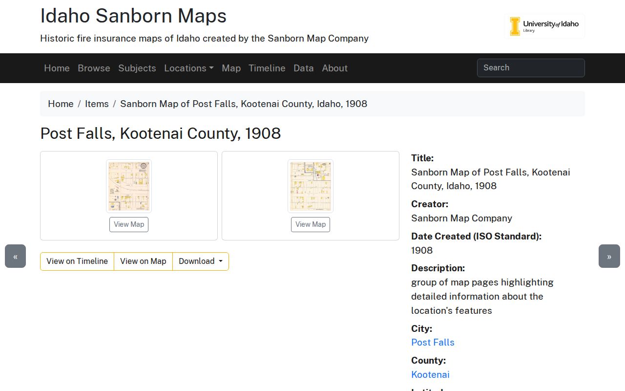
The dated sheets let an address researcher test whether a building footprint existed before joining it to a name from a directory or notice.
The 1912 Post Falls Sanborn collection supplies the next physical snapshot.
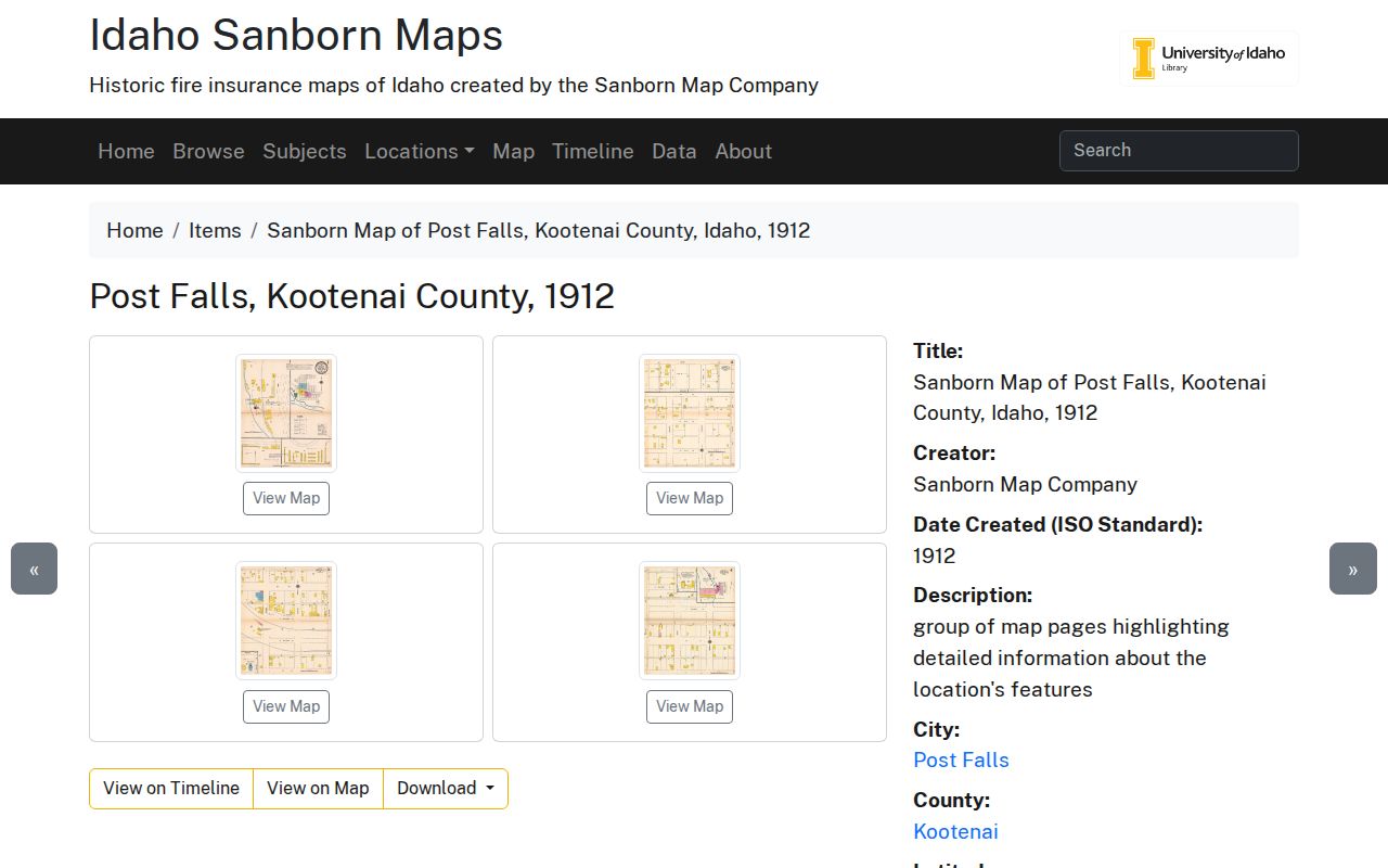
Changes between the sheets may indicate a replacement building, moved structure, new lot line, or revised street label. Treat each possibility as a branch to verify.
Find Previous Residents Regionally
Post Falls is not always a separate heading in an old book. The University of Idaho directory holdings route Post Falls researchers to Coeur d'Alene regional volumes. Listed telephone runs include 1930, 1947 to 1954, 1956 to 1965, 1967 to 1970, 1972 to 1978, 1981 to 1996, 1998 to 2002, and 2004/05. Business books include selections from 1912/13 through 1989.
Search the closest available year on both sides of a transfer. Preserve the name exactly as printed, the page, publisher, year, address, phone, and any business or occupation text. An omitted name can reflect an unlisted number, a gap in the run, or regional filing. The collection details belong to the Post Falls city directory research; here, the books serve as dated address evidence.
Could a directory name prove residence? It supports that a person or firm was listed there in that edition. Pair it with a deed, census, newspaper, map, or school record before calling the person an occupant.
Pair Post Falls Household Clues
Newspapers can fill the space between printed directory years. University of Idaho microfilm lists the Post Falls Gazette from 1889, the Post Falls Advance from February 21, 1913 through October 26, 1948, and the Post Falls Tribune from January 1964 onward. Search an exact number, street-only form, surname, estate notice, funeral notice, and business name. Record the publication, date, reel, and notice type.
The Kootenai County school census catalog covers 1898 through 1910 on three microfilm reels, with missing-district caveats. Its captured catalog page shows the supported access route.
A school-census entry can connect a family to a district or place, but it is not a complete Post Falls previous residents list.
- Place each directory or newspaper address on a year-by-year timeline.
- Check the nearest available census or school-census year for the surname and district.
- Compare household names without assuming that all occupants were listed.
- Keep conflicting spellings, street forms, and record roles visible.
Handle Post Falls Address Changes
Post Falls Ordinance 1135 sets today's address grid from Spokane Street and 1st Avenue. Direction letters and odd or even number placement matter. It also coordinates address work with county GIS, USPS, phone service, and emergency providers. Research found no official year-by-year renumbering or annexation crosswalk.
When an old number fails, do not silently convert it. Search the street without the number, compare the legal description, inspect the Sanborn sheet, and ask city or county staff whether an archived Property Address Guide or plat links the forms. Historic county-seat labels may also vary. Kootenai's seat moved to Rathdrum in 1881 and Coeur d'Alene in 1908, while later county splits changed the administrative setting.
Historic places can serve as test points for this method. The National Register list identifies the Young/Samuel and Ann House at 120 4th Street, Treaty Rock, Washington Water Power Bridges, and Community United Presbyterian Church. These entries are map and history anchors, not previous resident results. Confirm the current parcel first, compare a dated building or site description, and then search only the matching legal land trail. The Falls Park record adds another local check: Frederick Post obtained land for a mill in 1871, the mill burned in 1902, and it was rebuilt in 1905. Around the river and old industrial ground, a present address can conceal a much older place description.
Research rule. Label “address normalized from historic form” whenever modern map evidence, rather than the original record, supplies the current address.
Verify Post Falls Previous Residents
A reliable conclusion uses two different kinds of evidence. One should be address-specific, such as a directory line or newspaper notice. The second should stabilize the property or building, such as a deed, legal description, plat, or map. State the role shown by each record and note whether the underlying image was viewed.
Keep gaps explicit: index found but image not viewed, directory year missing, instrument referenced but not retrieved, or occupancy inferred from a notice. An estate, trust, or company in the deed chain must remain an entity transfer unless another source identifies a person at the address.
Lawful use. Research Post Falls previous residents for house history, genealogy, estate work, or personal curiosity. Never use an address trail to watch, harass, or harm a living person.
For current owners and the full named-street method, use the Post Falls street directory. A backward address trail should end with sources and limits, not a guess.